
Our Location
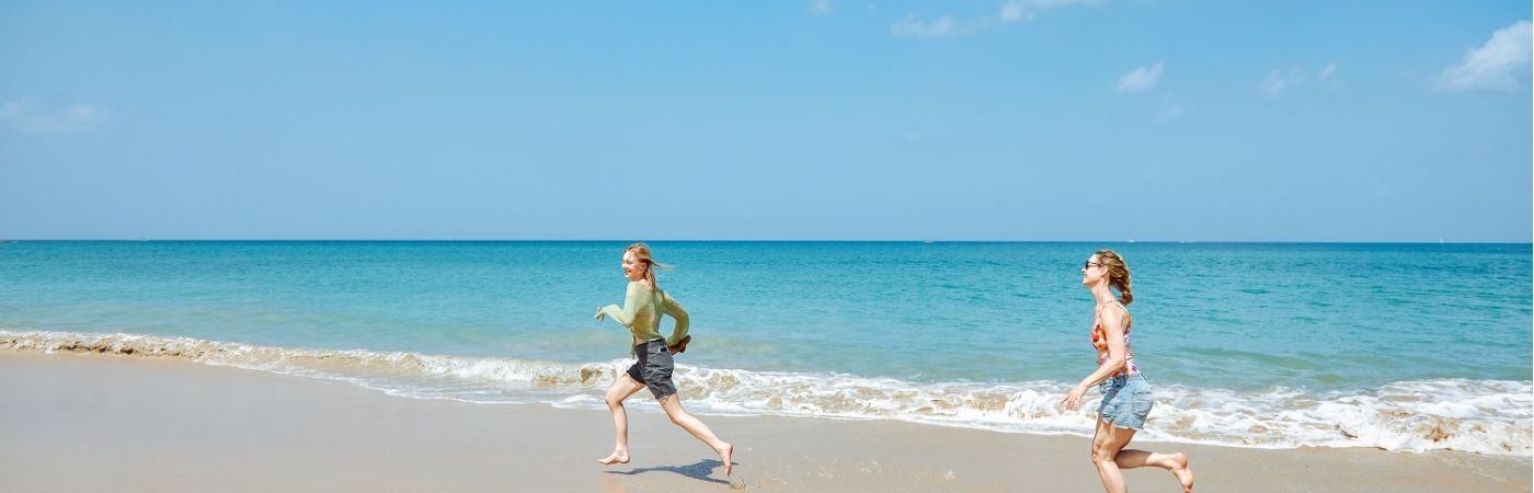
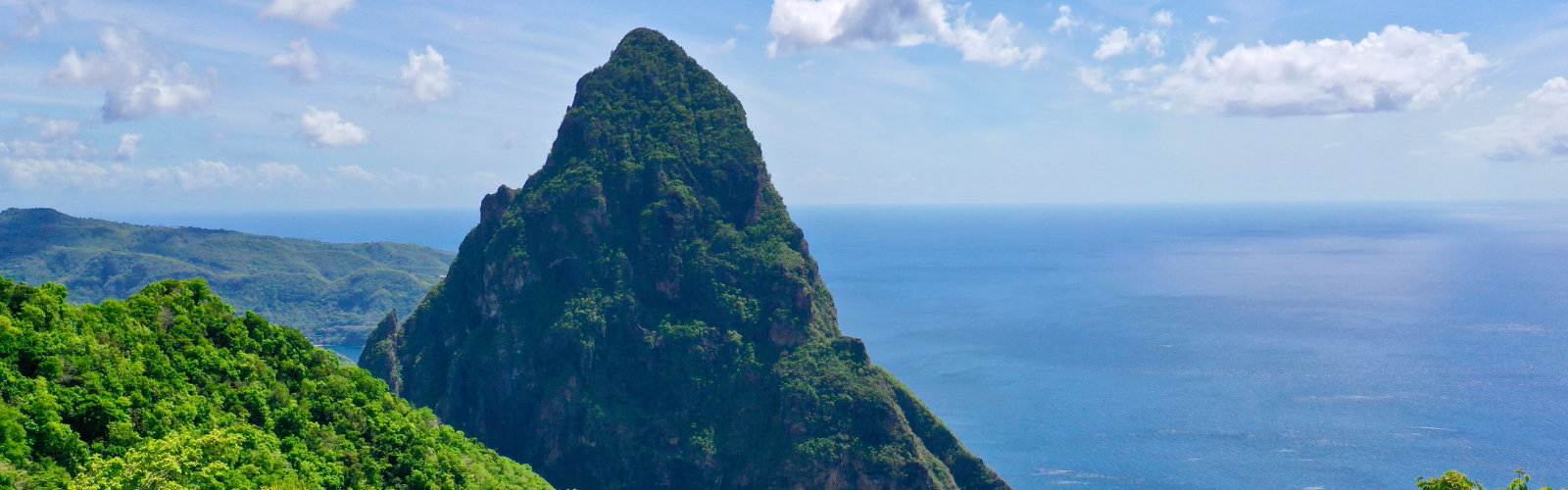
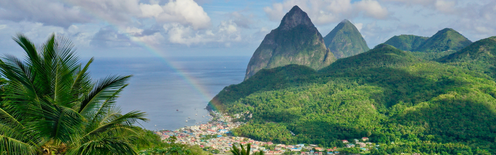
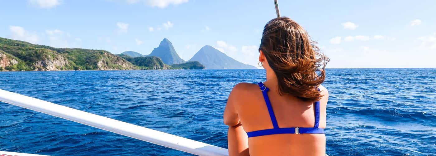
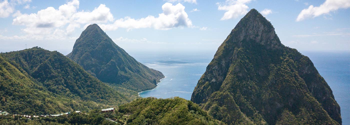
Soft sandy beaches, swaying palm trees and crystal clear waters – Saint Lucia is the epitome of a Caribbean paradise. Visitors to this lush, tropical island can admire the twin peaks of the Pitons, explore the island’s rainforest, or simply relax on the golden beaches of the Caribbean coast.
St. Lucia has two easily accessible airports – Hewanorra International Airport (UVF) in the south and George F L Charles Airport (SLU) in the north. Both offer in-ground services for private jets, daily international flights from the US, weekly flights from Canada and Europe, plus daily regional flights.
Upon exiting customs and immigration you will arrive at the arrival bay where there are different booths of Tour Operators, Car Rentals, Tourist information Desk, Banks, etc. To your left is the main exit road where your car or taxi can be picked up.
Please be reminded in St. Lucia we drive on the left side of the road.
Driving Directions from UVF:
Your journey begins on the East Coast of the island and will take approximately one hour and fifteen minutes. Having boarded your mode of transport, you will follow the main road around the airport’s parking lot keeping straight ahead towards to exit.
At the junction of the exit, turn left onto the main highway and keep on the main road. Five minutes away you will see a stadium logoed with Olympic-like rings on your left, continue straight ahead on the main road. Do not turn left at the large junction two minutes away from the stadium.
Continue along the main road where you will bypass:
- Desruisseaux junction
- Micoud Community which has a school on the right with a playing field and a gas station on the left, a fire station further up from the gas station then you begin to descend.
- Mon Repos Community – you will pass a gas station on the left, continue up the hill until you get to a long descent, at the plateau of the descent you will arrive at a banana plantation in the community of Praslin.
- Dennery Viewing Point – a place to stop for some breathtaking ocean views and the village of Dennery down below or grab a refreshment. Further down from the viewing point you will arrive at the Dennery junction, continue straight ahead pass the Police Station and school on the right, continuing uphill till you pass the fire station on the right.
- Richford Community – with a gas station to your left, a brewery distribution center, a football field with a farm on the right heading towards a bridge – keep on the main road after the bridge, do not turn left at the junction. Continuing on the main road you will come to another bridge – continue along the main road.
- Rainforest – you will notice the vegetation change to more rainforest ferns and tall trees, you are now crossing the middle of the island to the west coast. You will have a long descent.
- Bexon Community – at the plateau of the rainforest you have come to the community of Bexon continue along for approximately ten (10) minutes where you will bypass a gas station, Jehovah Witness church and another gas station until you come to a T-junction.
- At the T-junction turn left, then fist right a few yards down. Continue along the main road where you will bypass a gas station on the left, the first roundabout a few yards from the gas station (keep left of the roundabout and continue along the main road) passing three (3) short tunnels with a hospital a few yards down from passing through the last tunnel.
- Pass the hospital a few yards down is the second roundabout. Keep on the right lane of the roundabout to make a right turn at the roundabout then continue straight ahead towards the Port and Castries City.
- Pass the entrance of the Port are traffic lights, keep left over the bridge, keep left on the main road.
- You are now in Castries City on Jeremie Street bypassing a bank on your right, a shopping center on your left (La Place Carenage). Shortly after passing the pedestrian crossing in front of the shopping center, keep to the center lane at the traffic light and continue straight ahead passing the entrance of the local market.
- You arrive at a T-junction (Chausee Road), turn left onto the main road, then make the second right turn where you will begin an uphill climb in the community of La Pansee. At the junction turn right on the curve continuing uphill where a few yards up you will find the Bel Jou entrance on your left. Welcome to the Bel Jou Hotel!
Driving Directions from SLU:
Your journey will take approximately seven minutes
Having boarded your mode of transport you will exit the airport grounds by turning right onto the main road, where you will bypass beach bars on your left and cemetery with the airport runway on your right.
At the end of the runway turn right toward the roundabout, keep on the right lane to exit the roundabout. At the roundabout indicate left and exit at the second left. Make a left turn at the junction near the supermarket and continue straight ahead.
You will bypass a playing field and basketball court. At the junction ahead turn left then make the first right turn. A few yards up turn right then over the bridge where you will begin ascending making three hairpin bends up the hill.
After clearing the hill you begin a slight descent to a junction, keep left. A few yards from the junction is the Bel Jou entrance on your left. Welcome to the Bel Jou Hotel!

